Aviation

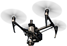
ADS provides field survey, aerial photography, photogrammetric data collection and LiDAR collection for Airspace Analysis, runway mapping and electronic Airport Layout Plans. We utilize these technologies and extensive experience in the delivery of design mapping as per the latest FAA guidelines.
 Back to Markets

