Mobile Lidar
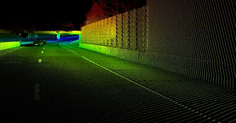
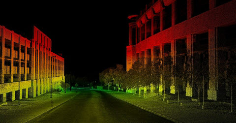
Transportation infrastructure is an important component of our culture that is constantly evolving. Roadways are a large part of this transformation, due to population growth in urban areas and an increasing mobility of our society. As a result of this change, lane closures must occur to allow the acquisition of 3D data when new design projects emerge. Lane closures pose an enormous safety risk for surveyors working along the corridor, as well as the traveling public. To mitigate these issues, ADS utilizes mobile LiDAR technology as an acquisition tool that is capable of collecting detailed topographic and infrastructure related information. The use of this technology and the capability to collect data at highway speeds, day or night, with minimum field crew exposure, reduces the logistics involved in lane closures.
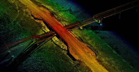

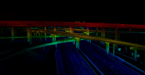
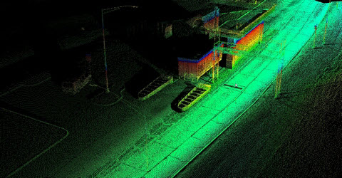
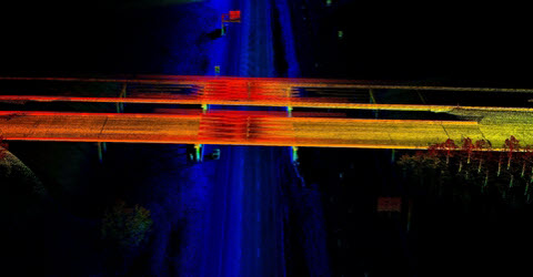
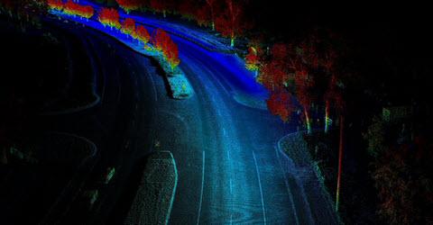
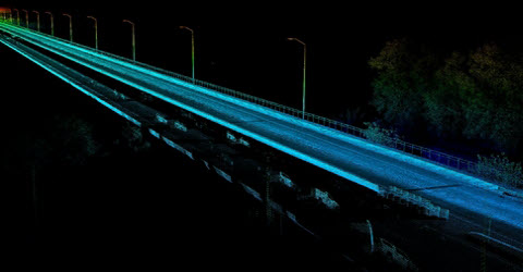


At 400,000 points per second, the LYNX Mobile Mapper collects massive amounts of point data quickly and accurately. Utilizing the latest mobile technology increases safety and saves time and cost on highway corridor projects. Further, mobile LiDAR far exceeds the capabilities of airborne systems with regards to point densification and accuracy.
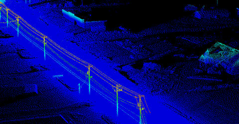
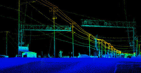
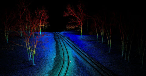
In addition to transportation infrastructure, ADS has also collected railway infrastructure, transmission line (predictive utility maintenance), airport runways, historical preservation and volumetric projects. With the variety of projects ADS has collected with the LYNX system, the reoccurring theme is rapid collection of highly accurate data. Again, the ability to “reuse” the data for extracting useful data for future design projects makes this technology attractive to many of our clients. Change is inevitable on most design projects and the ability to extract more data if the need arises saves time and cost on future projects.